


La Roche Posay

alinetpierre
User
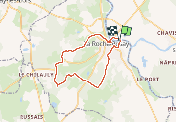

Length
13.1 km

Max alt
139 m

Uphill gradient
170 m
Km-Effort
15.4 km

Min alt
53 m

Downhill gradient
168 m
Boucle
Yes
Creation date :
2025-05-19 11:27:04.0
Updated on :
2025-05-19 14:52:52.428

FREE GPS app for hiking
 SityTrail
IGN / Geographical institutes
SityTrail Plus
The world is yours!
About
Trail of 13.1 km to be discovered at New Aquitaine, Vienne, La Roche-Posay. This trail is proposed by alinetpierre.
Description
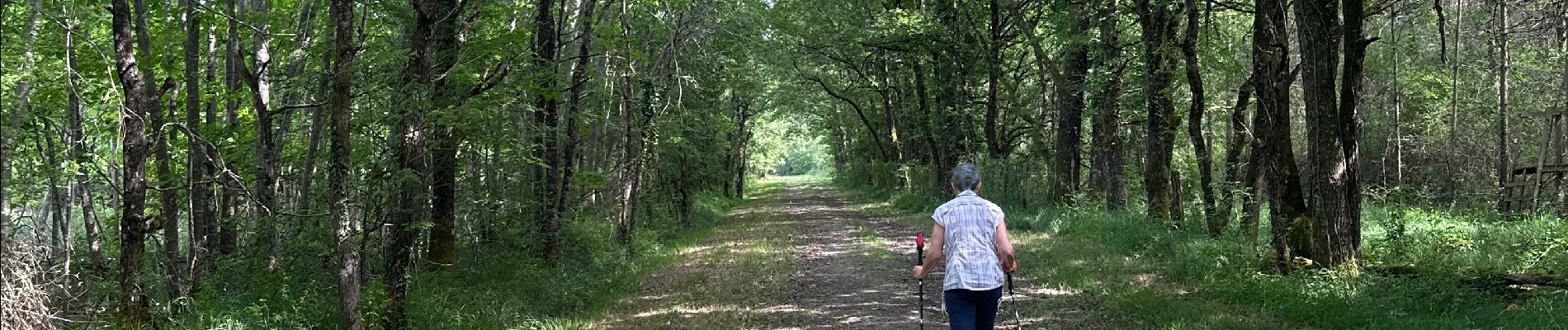
Randonnée agréable en sous bois .
Photos


Positioning
Country:
France
Region :
New Aquitaine
Department/Province :
Vienne
Municipality :
La Roche-Posay
Location:
Unknown
Start:(Dec)
Start:(UTM)
333739 ; 5183817 (31T) N.
Comments